Market your home from a new perspective with drone photography.
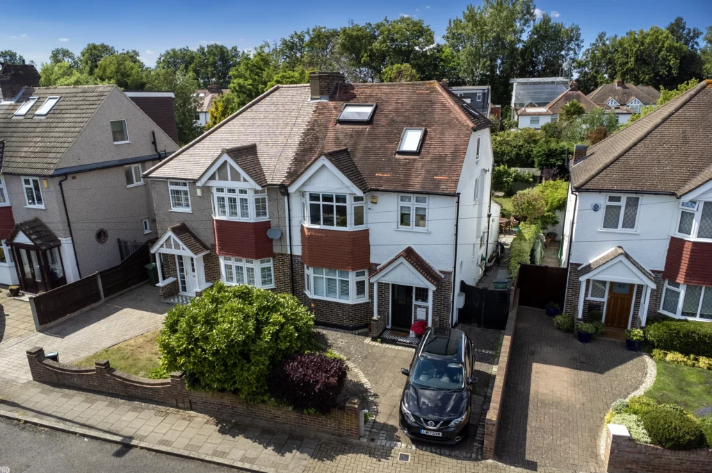
Aerial drone photography and surveys.
We specialise in providing high-quality drone photography and surveys for residential and commercial users in Kent and South London. We help estate agents and homeowners effectively market their properties and attract potential buyers.
Experts in capturing the best angles and lighting to showcase your property in its best possible light. Our drone photography services take it a step further, capturing stunning aerial shots of your property and its surrounding areas. Packaged with with our 360 virtual tours, potential buyers can now also get an immersive view of your property from the comfort of their own homes.
Prices start From
£175
(excludes VAT)
1 Bedroom house/flat – Packages available
Aerial drone photography.
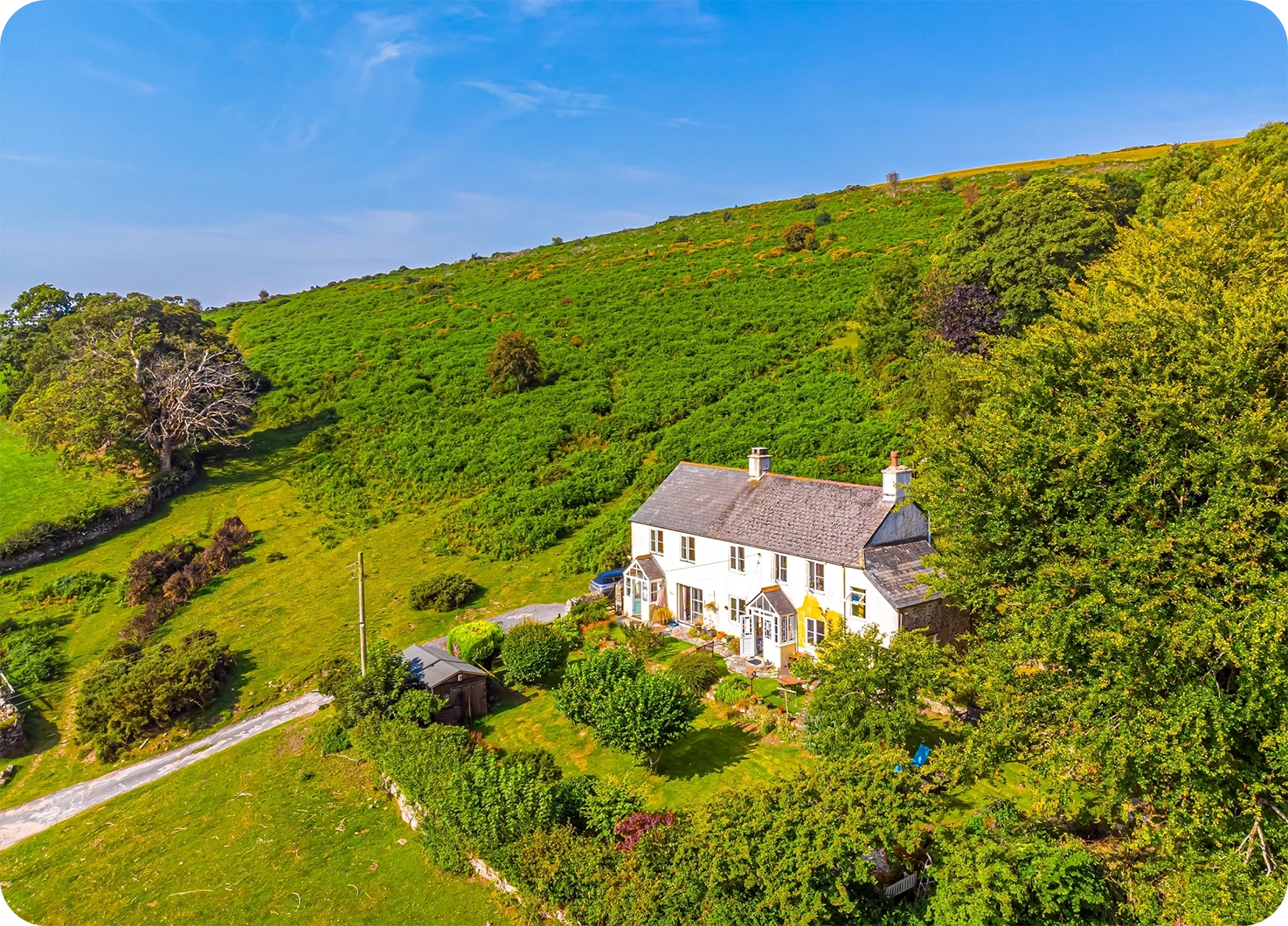
Elevate your property marketing game! Drone photography empowers real estate professionals to showcase properties in a whole new light. According to recent UK statistics, properties with aerial photos are 68% more likely to sell than those without.
With stunning aerial shots that capture the sprawling gardens, panoramic views, and overall grandeur of a property, drone photography creates an emotional connection, whether that’s with potential buyers for a property, those looking to capture an event, or travellers looking at their next stay or day out., Drones help visualise the property, driving sales. Say goodbye to the unrealistic cost of helicopter rentals and hello to a cost-effective solution that makes dynamic photography and video a reality.
Drones provide access to previously inaccessible areas, like rooftops and remote locations, allowing for unique angles and perspectives. Stay ahead of the competition and take your property marketing to new heights with the game-changing benefits of drone photography!
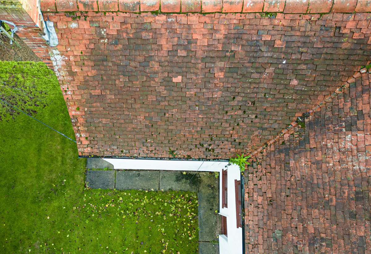
Residential Drone Surveys.
Gain a competitive edge with drone photography and surveys, as detailed imagery allows for efficient site assessments, strategic planning, and data-driven decision-making. With precise data and insights, your business can make informed choices about property investments, expansions, and renovations, leading to optimised operations and increased profitability.
Landowners can also leverage the power of 4K drones for land planning, development, and management, obtaining accurate topographical and geographical data for informed decision-making.
We can offer all sorts of surveyed to help your business, from video and photography of your business sites, vehicle fleets, hospitality spaces or land holdings, to time lapse photography of your construction sites and regular site maintenance surveys.
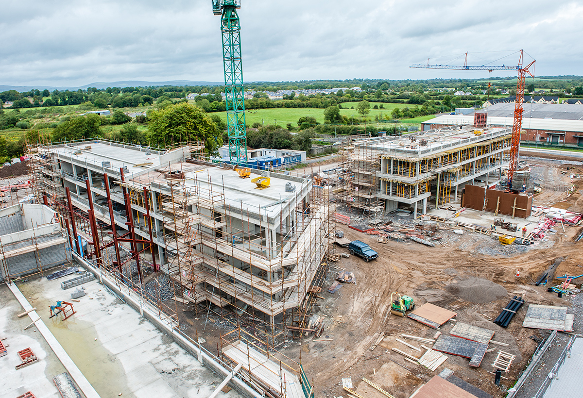
Commercial Surveys.
Businesses can gain a competitive edge as detailed imagery allows for efficient site assessments, strategic planning, and data-driven decision-making. With precise data and insights, your business can make informed choices about property investments, expansions, and renovations, leading to optimised operations and increased profitability.
Landowners can also leverage the power of 4K drones for land planning, development, and management, obtaining accurate topographical and geographical data for informed decision-making.
We can offer all sorts of surveyed to help your business, from video and photography of your business sites, vehicle fleets, hospitality spaces or land holdings, to time lapse photography of your construction sites and regular site maintenance surveys.